



Share This:
Where is Mount Everest Located? Map, Coordinates, and Geographic Guide
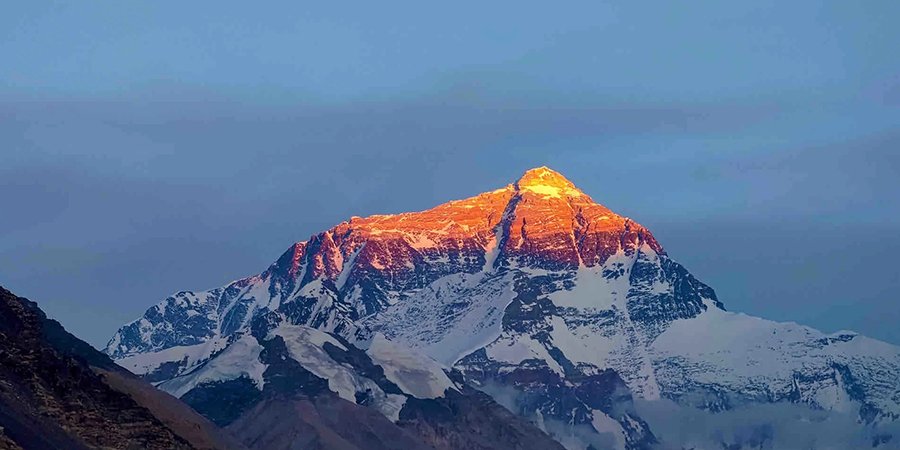
Mount Everest is located on the border between Nepal and the Tibet Autonomous Region of China in South Asia. The mountain sits within the Himalayas, specifically inside the Mahalangur Himal sub-range. Its precise summit coordinates are 27°59′17″N latitude and 86°55′31″E longitude.
The international border line runs directly across Mount Everest’s summit point. The southern half of the mountain lies within Nepal’s Solukhumbu District inside Sagarmatha National Park. The northern half sits within Tingri County in the Shigatse Prefecture of Tibet, China.
Known locally as Sagarmatha in Nepal (“Forehead of the Sky”) and Qomolangma in Tibet (“Mother Goddess of the World”), Everest is the highest point on Earth above sea level, reaching an officially recognized elevation of 8,848.86 meters (29,031.7 feet).
For travelers, trekkers, and geography enthusiasts, understanding Everest’s location involves exploring two distinct realities: its physical mountain landscape and its geopolitical placement across two sovereign nations.
Quick Geographic Facts: At a Glance
| Geographic Attribute | Official Details |
| Continent | Asia |
| Mountain System | Himalayas |
| Sub-Range | Mahalangur Himal |
| Primary Sovereign Nations | Nepal (South) / China (North – Tibet Autonomous Region) |
| Nepal Administrative Zone | Koshi Province, Solukhumbu District, Khumbu Region |
| China Administrative Zone | Shigatse Prefecture, Tingri County |
| Protected Conservation Areas | Sagarmatha National Park (Nepal) / Qomolangma National Nature Reserve (China) |
| Exact Geographic Coordinates | 27°59′17″ N, 86°55′31″ E |
| Official Elevation | 8,848.86 meters / 29,031.7 feet (Jointly declared in 2020) |
| Nearest Commercial Airport (Nepal Side) | Tenzing-Hillary Airport (Lukla, Nepal) |
The Exact Political and Border Location of Mount Everest
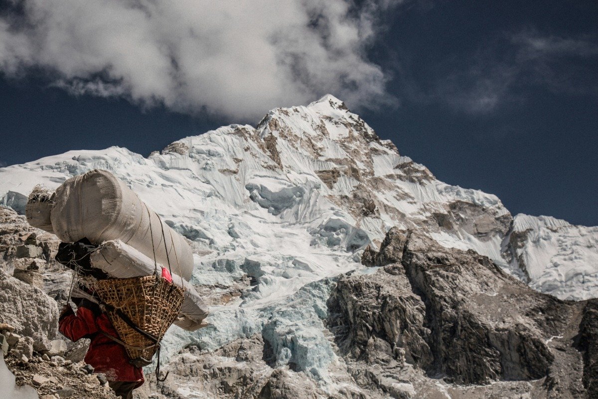
Mount Everest is not contained entirely within a single country. Instead, the international boundary between Nepal and China stretches directly across its peak.
This border boundary was formally ratified by Nepal and the People’s Republic of China through a bilateral boundary treaty in 1961. The treaty designated the crest of the High Himalayas, including Everest’s exact summit point (Border Marker 62), as the official international line.
-
The Southern Slope (Nepal): The south face of Mount Everest, including the South Col, the Khumbu Icefall, and the traditional South Base Camp, falls entirely within Nepalese territory. This area is governed under Nepal’s Koshi Province within the Solukhumbu District.
-
The Northern Slope (Tibet / China): The north face, the North Col, and the approach along the East Rongbuk Glacier are located in Tingri County within Tibet.
Because the peak sits directly on the frontier, climbers can ascend from either side, provided they secure the respective expedition permits from either the Ministry of Culture, Tourism and Civil Aviation in Nepal or the China Tibet Mountaineering Association (CTMA).
What Mountain Range is Mount Everest In?
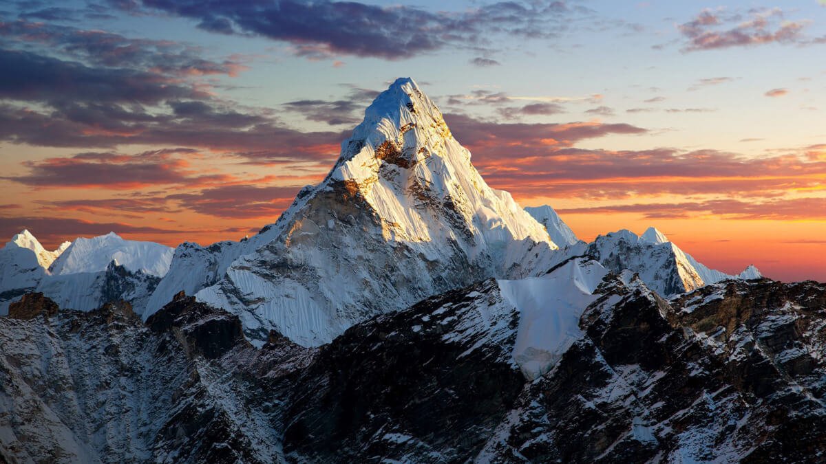
Mount Everest is part of the Himalayas, a vast mountain system created by tectonic plate collisions that stretches across five countries: Nepal, China, India, Bhutan, and Pakistan.
More specifically, Everest stands within a major mountain segment known as the Mahalangur Himal. This sub-range spans parts of northeastern Nepal and southern Tibet, containing four of the world’s fourteen 8,000-meter peaks:
-
Mount Everest (8,848.86 m / 1st highest)
-
Lhotse (8,516 m / 4th highest)
-
Makalu (8,485 m / 5th highest — situated just southeast in the adjacent Makalu segment)
-
Cho Oyu (8,188 m / 6th highest)
The collision between the Indian tectonic plate and the Eurasian plate which began approximately 40 to 50 million years ago—built the Himalayas. Because these tectonic forces remain active today, the mountain range continues to rise at an estimated rate of roughly 4 to 5 millimeters per year, balanced by atmospheric erosion.
Regional Breakdown: The Nepalese Side (South)
On the Nepal side, Mount Everest is anchored within the Khumbu Region of the Solukhumbu District.
In 1976, the Nepalese government established Sagarmatha National Park to preserve the ecological, cultural, and geological integrity of the land surrounding Everest. Spanning 1,148 square kilometers (443 square miles), the park was designated a UNESCO World Heritage Site in 1979 due to its high-altitude ecosystems, rare flora and fauna (such as the snow leopard and red panda), and rich Sherpa cultural heritage.
Key landmarks on the southern approach include:
-
Lukla (2,860 m): The main entryway for flights from Kathmandu and Ramechhap.
-
Namche Bazaar (3,440 m): The primary commercial and cultural staging hub of the Khumbu region.
-
Tengboche Monastery (3,867 m): The central spiritual monastery for Sherpa communities in the valley.
-
Gorak Shep (5,164 m): The final seasonal settlement before reaching South Base Camp.
-
South Base Camp (5,364 m): The main setup ground for southern summit expeditions and the endpoint for the classic Everest Base Camp Trek.
Regional Breakdown: The Tibetan Side (North)
In Tibet, Mount Everest falls within the Qomolangma National Nature Reserve, an extensive protected conservation zone covering over 34,000 square kilometers in the Shigatse Prefecture.
Unlike the Nepal side, which relies entirely on foot trails, the northern approach features paved road access nearly all the way to North Base Camp.
Key features of the northern setting include:
-
Tingri Town: The primary gateway settlement along the Friendship Highway connecting Lhasa to Nepal.
-
Rongbuk Monastery (4,980 m): Recognized as one of the highest altitude religious structures in the world, offering views directly up Everest’s North Face.
-
North Base Camp (5,150 m): Accessible via electric buses from designated parking sites, making it reachable without multi-day foot treks.
How to Get to Mount Everest: Access Routes and Travel Logistics
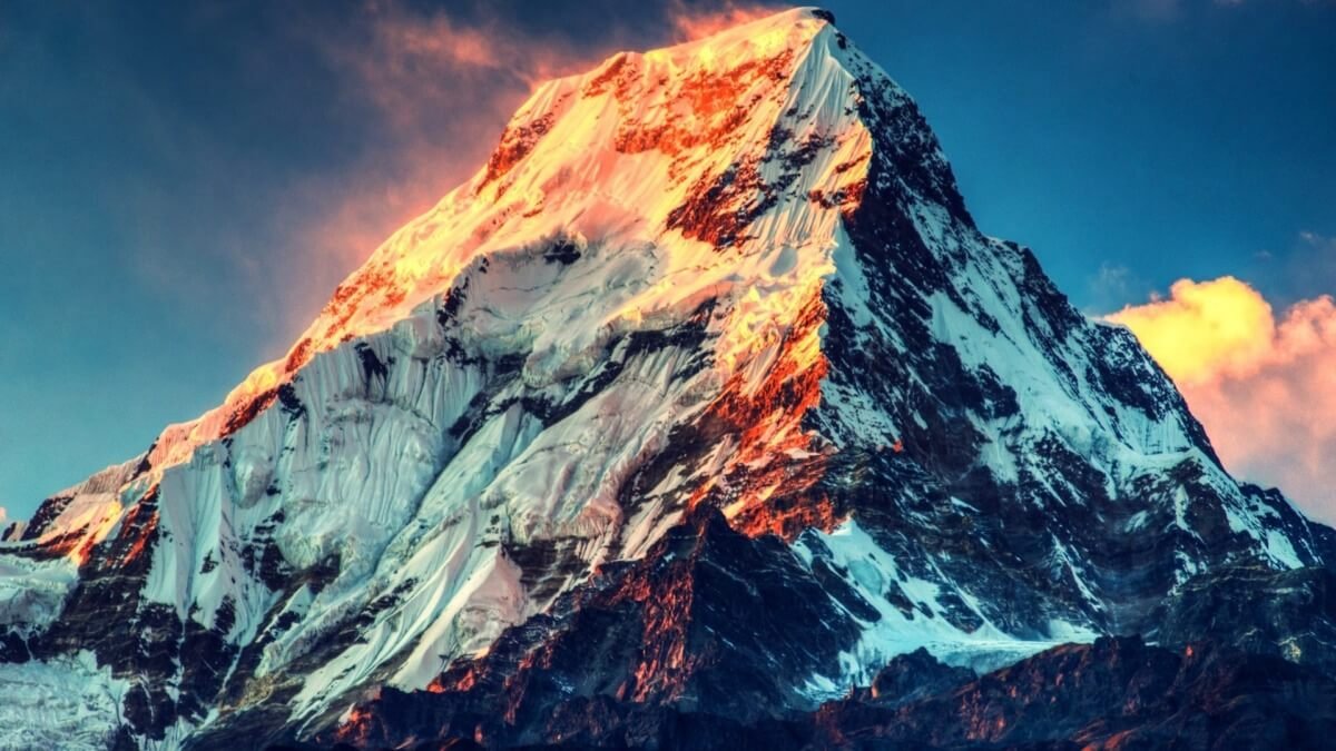
Getting to Mount Everest depends on whether you plan to approach from the Nepalese side or the Tibetan side. For the majority of international trekkers and outdoor enthusiasts, Nepal offers the standard, most immersive trekking access.
Accessing Everest from Nepal (South)
-
International Arrival: Fly into Tribhuvan International Airport (KTM) in Kathmandu, Nepal.
-
Domestic Transport: Take a short flight (approx. 35 minutes) from Kathmandu (or Ramechhap Airport during peak seasons) to Tenzing-Hillary Airport in Lukla.
-
Trekking Route: From Lukla, travelers embark on an 8 to 12-day round-trip foot trek through the Dudh Koshi river valley, passing through Phakding, Namche Bazaar, Deboche, Dingboche, and Lobuche, before reaching Everest Base Camp.
For travelers with tighter schedules, a short Everest Base Camp trek or helicopter tour options provide alternative ways to see the mountain.
Accessing Everest from Tibet (North)
-
Arrival: Fly to Lhasa Gonggar Airport or take the Qinghai-Tibet Railway to Lhasa.
-
Overland Drive: Travel overland along the Friendship Highway through Gyantse, Shigatse, and Tingri.
-
Final Approach: Drive directly to Rongbuk Monastery and proceed via eco-buses to North Base Camp.
South Base Camp vs. North Base Camp: Key Differences
| Feature | South Base Camp (Nepal) | North Base Camp (Tibet / China) |
| Elevation | 5,364 meters / 17,598 feet | 5,150 meters / 16,896 feet |
| Access Method | Multi-day foot trek or helicopter flight | Paved road access, vehicle drive |
| Trekking Difficulty | Moderate to challenging high-altitude trek | Low (primarily road transport) |
| Primary Visual View | Everest peak obscured by Nuptse/Lhotse from base camp (Kala Patthar offers direct view) | Direct, unhindered view of the North Face from base camp |
| Permits Required | Sagarmatha Park Permit, Khumbu Entry Permit | Tibet Travel Permit, Alien’s Travel Permit |
| Cultural Setting | Sherpa villages, Buddhist monasteries, mountain culture | Tibetan plateau landscape, ancient monasteries |
While the northern side in Tibet offers convenient road access, the southern side in Nepal provides an authentic, immersive mountain trekking adventure through traditional high-altitude villages and conserved alpine valleys.
Frequently Asked Questions About Mount Everest’s Location
Which country is Mount Everest located in?
Mount Everest is located in both Nepal and China (Tibet). The international border between the two countries runs directly across the peak summit. The southern side sits in Nepal’s Solukhumbu District, while the northern side sits in China’s Tibet Autonomous Region.
Can you see Mount Everest from Kathmandu?
Under standard atmospheric conditions, Mount Everest cannot be seen from Kathmandu because intermediate high-altitude mountain ranges block the line of sight. However, during crystal-clear autumn days following heavy seasonal rains, distant views of Everest’s tip are occasionally visible from high ridge vantage points around the Kathmandu Valley, such as Nagarkot or Chandragiri Hill.
Is Mount Everest located in India?
No, Mount Everest is not located in India. It is situated roughly 160 kilometers (100 miles) north of the Indian border, entirely along the international border line connecting Nepal and Tibet (China).
How far is Mount Everest from Kathmandu?
Mount Everest lies approximately 160 kilometers (100 miles) northeast of Kathmandu, Nepal’s capital city. While the straight-line distance is relatively short, traveling between them requires a domestic flight to Lukla followed by several days of mountain trekking due to the rugged terrain.
What is the closest town to Mount Everest?
On the Nepal side, the closest permanent urban hub is Namche Bazaar, located about 30 kilometers south of the summit. The closest seasonal settlement with lodges near Base Camp is Gorak Shep. On the Tibet side, the closest town is Tingri.
Planning Your Journey to the Everest Region

Understanding the precise geography of Mount Everest is the first step toward experiencing the world’s most famous mountain region firsthand. Whether your goal is standing at Everest Base Camp, exploring the high-altitude turquoise waters along a Gokyo Lakes trekking itinerary, or taking in panoramic views from Kala Patthar, thorough preparation is key.
At Mountain Treks Nepal, our local teams design carefully organized Everest region trekking routes tailored to individual fitness levels, safety needs, and scheduling preferences.